Indo-Gangetic Plain is Drying Despite Rise in Water Flow in the Streams, Says WMO

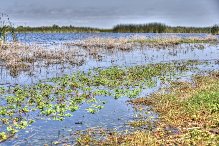
Image Source: Needpix.com, Used for representation only.
The Indo-Gangetic Plain (IGP) is a huge swath of fertile land of around 700 thousand square kilometres encompassing the northern part of India, almost half of Pakistan, and almost all of Bangladesh. This large plain is formed by the Indus and the Ganga-Brahmaputra basins, housing around 400 million populations. This plain is also the most intensely farmed region of the world, with rice and wheat being the main crops.
The IGP is now facing a crisis rooted in manufactured climate change and concurrent global warming. The latest report produced by the WMO (World Meteorological Organization) says that there was an increase in the water flow through river channels of the region owing to glacial melt; importantly, despite this, the total water storage of the IGP has declined. This alarming trend has been unveiled in the report of the 'First State of Global Water Resources 2021' conducted by WMO, published on November 29. This worries nearly half a billion of the population supported by it.
The WMO report assesses the impact of climate, environmental and societal changes on the Earth's water resources. The report says that this annual stocktake also supports the monitoring and management of global freshwater resources in an era where demands are exponentially growing while the supply remains limited.
"Major Indian river basins (the Brahmaputra, Ganges and Indus), as well as other important river basins in Asia (Huang He, also known as Yellow and Mekong), exhibit a gradual decline in TWS over the period 2002-2021, "the WMO report said. The TWS stands for Total Terrestrial Water Storage, which signifies the total water on the land surface and in the subsurface—water stored in canopies, rivers or lakes, wetlands, snow and ice, groundwater and soil.
This report provides maps and a graphical summary of streamflow and TWS in river basins worldwide.
"These maps are based on modelled data (validated with observed data to the extent possible) and information received from the NASA GRACE mission for TWS. Modelled data was used to achieve maximum geographical coverage. The 2021 report also includes chapters on major hydrological events in 2021 and a brief overview of cryosphere changes related to water resources,"—says a statement about the annual assessment of Earth's water resources.
Streamflow, or the water volume flowing through a river channel, the TWS and the cryosphere (frozen water) were the points that the report focussed on. The report found that drier-than-normal conditions prevailed in large areas in 2021. Notably, this year also witnessed the weather condition of La Nina. La Nina is associated with increased rainfall, especially during the summer monsoon in Southeast Asia, northwest India and Bangladesh.
The report found that the area with below-average streamflow was two times larger than the above-average area compared to the 30 years of hydrological average. Headwaters of the Ganga river were found to be above average discharge, which was found to be basins in northern India. Similarly, northern and southern China (the Amur river basin) were found to have above-average discharge.
The report brings bad news to India, the IGP, and other parts of the world.
"The dryer-than-normal conditions in 2021 included the La Plata River area, where persistent drought has affected the region since 2019, the South and South-East Amazon, and basins in North America including the Colorado, Missouri and Mississippi river basins. On the other hand, African rivers like Niger, Volta, Nile and Congo had less than normal discharge in 2021. Similarly, rivers in Russia, West Siberia and Central Asia witnessed less than average discharge in 2021," the report said.
River discharge is the volume of water flowing through a river channel. Pointing out the long-term effect, the report says that there are several hotspots with a negative trend in TWS, including Brazil's Rio Sao Francisco basin, Ganga and Indus headwaters, Patagonia and southwestern USA. Also, in some areas, the over-abstraction of groundwater contributed to the overall decrease in TWS, the report pointed out.
Get the latest reports & analysis with people's perspective on Protests, movements & deep analytical videos, discussions of the current affairs in your Telegram app. Subscribe to NewsClick's Telegram channel & get Real-Time updates on stories, as they get published on our website.


